Welcome to the information page for DataShine Scotland.
DataShine Scotland utilises the DataShine framework to map selected Quick Statistics and Key Statistics for Scotland’s 2011 Census. There are two main sites:
-
DataShine Scotland
Over 1000 Quick/Key Statistics for Scotland, mapped at Output Area and Ward levels. -
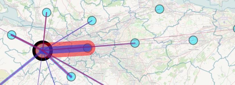
DataShine Scotland Commute
Travel-to-work-flows between each Intermediate Zone, split out by direction and mode of transport. There is additionally a version which shows the flows between each Council Area.
Feedback
If you have any comments on DataShine Scotland, and would like to contact the development team directly, please leave a comment on our comments page, and the team will do their best to answer any queries. For specific comments on the underlaying data and the 2011 Census process and outputs, please contact the Scotland’s Census team.
Acknowledgements
DataShine Scotland was funded by the National Records for Scotland and Scotland’s Census.
Resources
- General information about Scotland’s Census
- Geography files for Scottish Output Areas, Wards and Council Areas
- Source Data files for Scotland’s Census Quick/Key Statistics
- Source Data files Travel-to-Work Flows
- Information on Ordnance Survey Open Data (background map for DataShine Scotland
- Information on OpenStreetMap (background map for DataShine Scotland Commute
- Information about the colour ramps used in DataShine: Scotland
Technical Information
DataShine utilises the OpenLayers 3 and JQuery Javascript frameworks, and Mapnik 2. Modern browsers are recommended for the best performance and user experience.

One thought on “About DataShine Scotland”
Comments are closed.