All the DataShine websites (except DataShine Election) are derived from a common codebase and use the OpenLayers 3 mapping platform to display a full-window slippy map, with user controls and key overlaid.
-
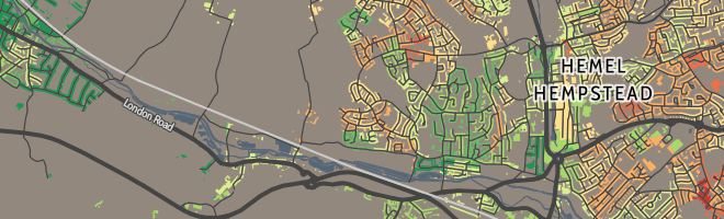
DataShine Census
-
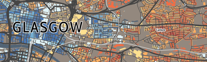
DataShine Scotland
 Commissioned by the National Records of Scotland.
-
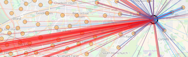
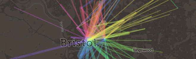
DataShine Commute
-
DataShine Scotland Commute
 Commissioned by the National Records of Scotland.
-
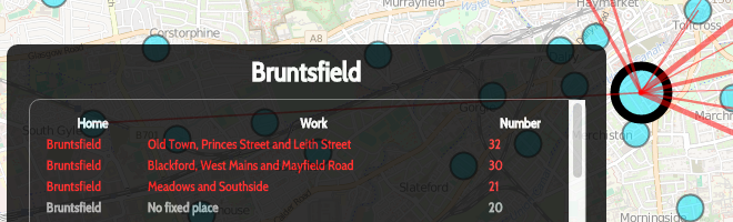
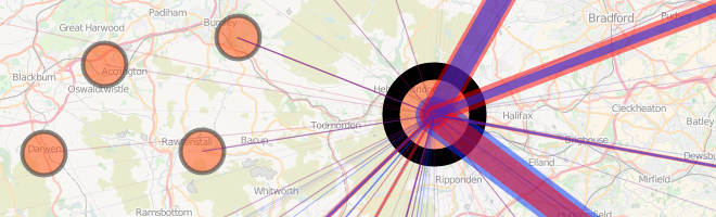
DataShine Region Commute
-
Great British Bike to Work
-
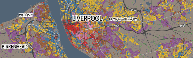
DataShine OAC
-
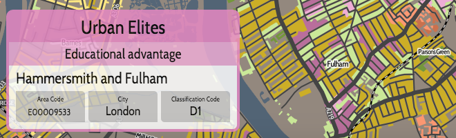
DataShine LOAC (for London)
-
DataShine COWZ-EW (for work)
 Commissioned by the University of Southampton.
-
DataShine Election
-
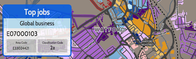
CDRC Maps
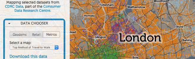 Commissioned by the Consumer Data Research Centre.
-
Scottish Index of Multiple Deprivation (SIMD) Map
 Commissioned by the Scottish Government.
There’s a DataShine paper: Interactive mapping for large, open demographic data sets using familiar geographical features. by O’Brien O, Cheshire J. It’s published in the Journal of Maps, as an open access paper. DOI: 10.1080/17445647.2015.1060183.